Home » Elementor #4426
From our data consultancy firm currently, some of which are trialling Davinci
Connect Any DataStep 1
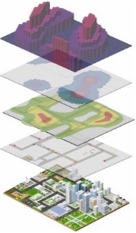
Build LayersStep 2
ShareStep 3
Add your own datasets / leverage on existing onesCloud based
Build beautiful and modular geo layers of data. Animate and customize them to tell your story!
ShareA/ Securely within your organization
B/ Directly to the web to tell your story to the masses!